About this Project
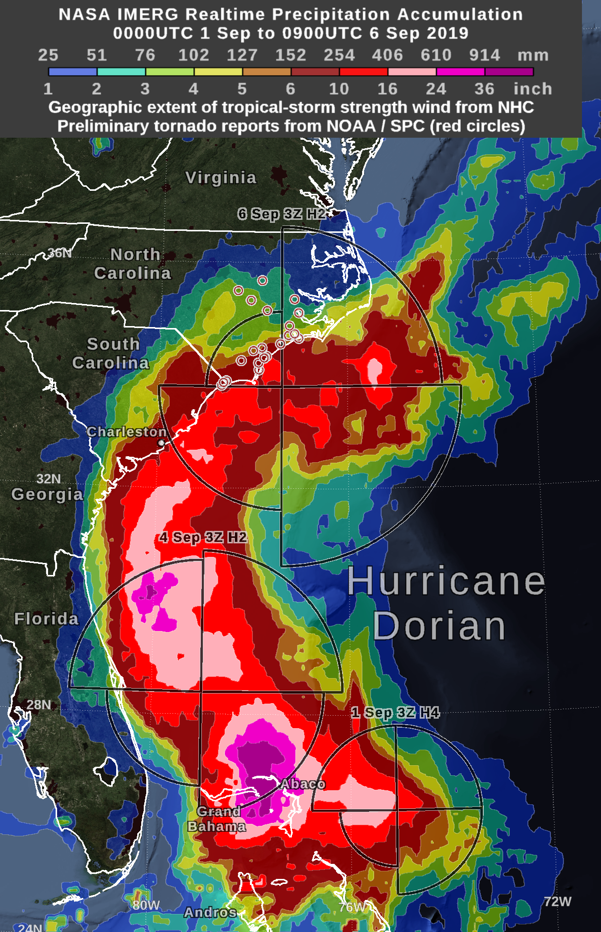
Natural disasters are formidable events that have caused a lot of damage around the world. Presently, these disasters have become more persistent and peculiar, thus the pressing need to leverage geospatial technology to study and analyze these emerging patterns. The aim of this project is to create a python-based web application focused on identifying accessible routes during natural disasters. Specifically, this web application identifies the best path between points during the flood event that took place on Grand Bahama Island during Hurricane Dorian in 2019.
This app has two main focuses: routing analysis and visualization of the flood event caused by Hurricane Dorian. As such, the app includes an interactive web application that identifies the best path between user-defined starting and ending points during the flood event as well as a visualization of hurricane Dorian's path towards Grand Bahama Island.
To accomplish this, the app relies on OSMnx for routing analysis as well as Flask and Folium to build and visualize a web map of the data layers and routing results. Navigate to the documentation page to learn about how to deploy the web application.
Read more about the inspiration for this project here:
Foresight DRM: Disaster Mapping Hackathon 2023
Objectives
- To visualize the movement of Hurricane Dorian on its path towards Grand Bahama Island in 2019
- To create an interactive web mapping application that conducts a network analysis of available routes during the flood event caused by Hurricane Dorian
- To design a user interactive interface that allows users to choose two points of interest between which the best route will be calculated in the face of the flooding caused by Hurricane Dorian
